
With the temperature dial already reaching season lows in Whistler, expect the freeze to continue Saturday, Nov. 29, with an arctic outflow warning in effect for the resort and much of the B.C. coast.
Environment Canada warned early Saturday of an arctic airmass over the Interior forcing cold air out of the mainland valleys and inlets. Strong winds up to 15km/h combined with very cold air are giving wind chill values near -20C. An arctic outflow warning is issued whenever wind chill values are expected to drop to -20C or lower for six hours or more.
Any outdoor activity “exposes you to an increased risk of frostbite,” the public alert read.
Whistler RCMP Sgt. Rob Knapton released a statement Friday, Nov. 28, asking drivers to stay safe on the Sea to Sky Highway with recent snowfall in the resort.
“We’re happy to have ski season upon us, as well as the visitors it brings from the Lower Mainland as well as travellers from other locations. Unfortunately, every year we end up going to accidents that could have been prevented,” he said.
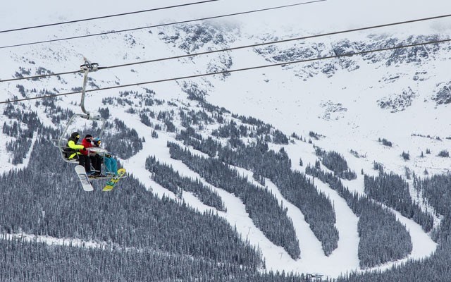
It is currently -18C at the Roundhouse Lodge, with temperatures in the alpine predicted to reach a low of -13C tonight. The dial is expected to moderate substantially tomorrow, with a high of -6C in the forecast, according to a Whistler Blackcomb weather report. Mainly sunny, cool conditions are expected into early next week.
There are currently 133cm of snow accumulated at the Pig Alley weather station at the midpoint of Whistler Mountain. The surface conditions are hard-packed.


