
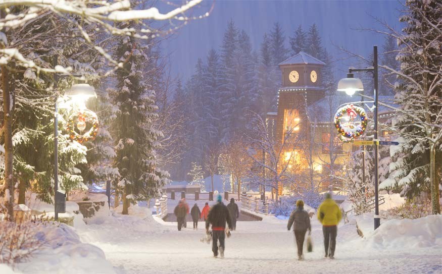
A winter storm is set to move into Whistler and the Sea to Sky region today bringing with it some high winds and up to 25 centimetres of snow.
Environment Canada has issued a snowfall warning for the area with snow expected to continue to fall into tomorrow.
Thursday is expected to dawn clear with sunny skies and fresh powder on Whistler and Blackcomb.
The low-pressure system will bring rain; sleet and snow along the Sea to Sky Highway and all vehicles should be equipped for winter weather driving.
The Canadian Avalanche Centre is rating conditions in Sea to Sky as considerable.
"A significant storm is expected to impact this region starting Tuesday afternoon and overnight into Wednesday. Expect very dangerous avalanche conditions in this region through this period," states the Association's website.
The risk at both alpine and treeline is rated "considerable," which means there are dangerous avalanche conditions so careful snowpack evaluation is needed along with cautious route finding and conservative decision-making.
"Whumpfing, shooting cracks and recent avalanches are all strong indicators of an unstable snowpack," sates the website. "Avoid freshly wind loaded features. Avoid all avalanche terrain during periods of heavy loading from new snow, wind, or rain."
For more information on avalanche risk go to www.avalanche.ca/cac/bulletins/latest/sea-to-sky; for driving conditions go to www.drivebc.ca, and for conditions on Whistler Blackcomb go to www.whistelrblackcomb.com.


