
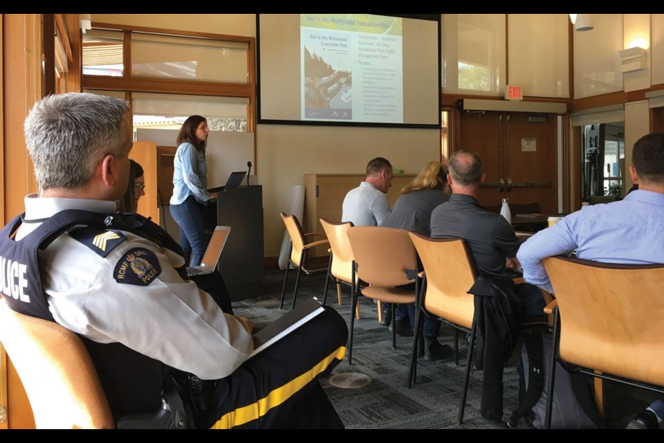
Whistler's evacuation plan is headed to council after a presentation to the Emergency Preparedness Committee (EPC) on May 2.
The plan—a joint venture (and 50/50 cost share) with the District of Squamish—lays out in detail how the Resort Municipality of Whistler (RMOW) will evacuate the entire community in an emergency.
The RMOW has had a "fairly robust" evacuation plan since 2014, said emergency planning coordinator Erin Marriner in a presentation to the EPC, but that plan didn't actually look at evacuating all of Whistler.
"Interestingly, when we reviewed our hazards at that time, we didn't feel there was one that would cause a mass evacuation," Marriner said.
"And just the evolution over the last five years with the evacuations that have happened and the increasing hazards, when we reevaluated it, it was something we really felt that we need, and this committee was really the driving force behind that."
The Sea to Sky Multimodal Evacuation Plan (MEP), as it's formally called, is an "all-hazard" plan, Marriner said, that can be used for any emergency—wildfire, earthquakes, volcanic eruptions, hazardous material spills or even terrorist attacks.
The MEP was developed by a steering committee consisting of the RMOW, District of Squamish, Village of Pemberton, Squamish-Lillooet Regional District, Whistler Transit, Squamish and Lil'wat nations, BC Ferries, Squamish Terminals, BC Wildfire Service, RCMP, Ministry of Transportation, Canadian Red Cross, BC Transit and Emergency Management BC.
MOVING TARGETS
When trying to plan for the total evacuation of a resort community as bustling as Whistler, you're going to be dealing with some moving targets in terms of population.
As such, the MEP put added focus on understanding Whistler's demographics—and found a lot of questions to be answered.
"What we wanted to know is what is the maximum number of people that might need to evacuate, the maximum number of vehicles that would need to be on the highway, the potential demand for transit—so how many people don't have vehicles?" Marriner said.
"Where will people need to go once evacuated? ... How many people may require assistance to evacuate, so people with disabilities, or people that cannot evacuate on their own, and how many people may require shelter?"
The RMOW ended up with three "design scenarios": a peak winter day, a peak summer day, and an "average population equivalent" day.
On a peak winter day, the total estimated number of evacuees is 53,480, with potential for 21,876 vehicles (90 per cent of which would be headed south). The estimated number of carless evacuees is 17,030, while 7,206 people may require lodging, and 267 may require assistance evacuating.
On a peak summer day, the total estimated number of evacuees is 48,859 with potential for 21,065 vehicles (90 per cent of which would be headed south). The estimated number of carless evacuees is 8,442, while 5,221 people may require lodging and 244 may require assistance evacuating.
On an average day, the estimated total number of evacuees is 33,361, with the potential number of vehicles to be 12,700 (90 per cent south).
While the MEP will utilize all forms of transportation in evacuating Whistler—road, air, marine and rail—the RMOW focused on Highway 99 for its in-depth analysis.
"This is the mode we know most people are going to use to evacuate, whether to the north or south," Marriner said, adding that ISL Engineering completed a detailed analysis of the highway using evacuation modelling.
"So actually taking the number of cars in each neighbourhood, for different scenarios, and each car going onto the highway, and what that looks like, what our constraints are."
ISL's analysis found Highway 99 to have a conservative lane capacity of 1,650 per hour, both north and south.
SEVEN SCENARIOS
Out of seven scenarios examined in the MEP, the longest total evacuation time is estimated to be about 20 hours (a phased evacuation on a peak summer day—think Crankworx).
"A no-notice evacuation on the same day ... where people just start to go, would take approximately 15 hours," Marriner said.
"Implementing traffic control at stop-controlled intersections, so any intersection that doesn't have a stoplight on the highway, reduces it to about 12.5 hours."
Without traffic control, it could take up to 14 hours to clear a specific neighbourhood, Marriner added.
"Basically, this informed us that there's certain intersections that we absolutely need traffic controllers at, and that's in the operational plan as one of the first steps," she said.
A no-notice evacuation on a peak summer day with Highway 99 converted to two lanes southbound will bring the evacuation time down even further, to about 10 hours.
A phased evacuation on an average day will take about 13 hours.
"While it takes a lot longer ... a phased evacuation is a lot more comfortable for the actual individual travellers in terms of how long they spend on the highway, and as we know with traffic, once you start to see traffic you see more events like medical emergencies, people running out of gas," Marriner said.
Keeping the highway moving will be key, she added.
KNOW YOUR ZONE
The MEP divides Whistler into 29 evacuation zones, and a big piece of the RMOW's public education strategy will be to "Know Your Zone" in the event of an evacuation.
"In most cases, we won't be just issuing an evacuation order for the whole community, it will be for specific areas," Marriner said.
To keep things simple, the various zones are based on Whistler's neighbourhoods.
Complementing the zones are six central muster points: At the first entrance to Emerald, Meadow Park Sports Centre, Rainbow Park, Gateway Loop, Creekside Parking Lot and the Whistler Interpretive Forest.
"If we had a lot of advance notice, and a wildfire was kind of approaching and we were monitoring, most likely what we would do is have transit buses run their regular routes and pick up people at their transit stops, that didn't have transportation, bring them to somewhere like the Gateway Loop, and bus them out using coaches and the local transit," Marriner said.
"We designed it so that hopefully nobody has to walk more than two kilometres to a central muster point. Ideally, people are able to get a transit bus close to their house, the one they usually take, but if it's something that's unfolding really fast, you just go to your closest muster point and a bus will take you out of town."
When it comes to managing traffic during an evacuation, there are a number of tools in the "toolbox," Marriner said: lane reconfiguration on Highway 99 (implementing two southbound lanes from Lorimer Road to Depot Road in Squamish—ISL is currently writing a full traffic management strategy for this scenario); traffic control at intersections (which would likely happen right away); changes to traffic light times and more.
"We (also) looked at detours, road closures and controlling access," Marriner said.
"So if we were evacuating everybody from Whistler we would be closing the road into Whistler probably at Squamish somewhere, and just allowing specific resources to come through."
MAKING THE CALL
In determining the timeline to evacuate, the RMOW will consider the various scenarios modeled in the MEP along with a specific formula: [total number of vehicles (vehicles + buses) x 90 per cent (the percentage expected to go south)] divided by the number of vehicles per hour the highway can accommodate (one outbound lane = 1,650, two outbound lanes = 1,850).
"Then that would give us (an idea of) how long we think it will take us to physically evacuate ... we need to start thinking (ahead) so that we're ordering buses and planes and things from the province and whatever we need 120 hours ahead rather than 12 hours ahead," Marriner said.
"And we may not actually pull the trigger on moving them up here, but the more heads up we can give all of our partners and people that we're going to get resources from, the more likely we're ready to go when we actually need to pull the trigger."
The recommendation to evacuate will come from a different agency depending on the emergency, Marriner added, and an operational flowchart will help determine when the RMOW needs to make the order itself (is there an immediate threat to public safety? How far is the threat? Is there time to issue an evacuation order and clear the area before people are hurt?).
Once the order has been made, the public will be notified in many different ways: through the RMOW's website and social media, via radio and TV broadcasts, through briefings with local media and more.
"In an evacuation, ideally we're issuing evacuation alerts and orders door to door," Marriner said.
"It depends on how much time we have and the scale of the evacuation, but that's another tool, as well as a public address system—so actually going through neighbourhoods with sirens on and loudspeakers."
In addition, the RMOW is developing a tool for its website to help people create an emergency plan based on their specific scenarios, as well as a mass notification system that residents and second homeowners can opt in to for updates.
KEY MESSAGES FOR THE PUBLIC
From the view of Mike Furey, Chief Administrative Officer with the RMOW, the plan is "an amazing piece of work" by everyone involved.
"That's one of the best policy and research documents that I've seen," he said after the presentation, praising the plan's focus on evidence-based decision-making and its formula for traffic management in particular.
"The decision sort of makes itself almost ... it's not something that I think we should be 'gut-instincting'—whether we want to evacuate or whether we don't," he said.
"(But) I think the residents and the visitors ... they sort of need to own this plan."
Some key messages for the public: Have an emergency plan and kit, and stay informed as best you can. Know your evacuation zone and the location of the closest central muster point. In an evacuation, follow the instructions of emergency officials.
If you have a car, keep your fuel tank topped up to at least half. If you don't, plan ahead for a ride. If you have a pet and no car, ensure you have a case to carry it in.
Residents will have plenty of opportunity to familiarize themselves with the plan, as it will be heavily publicized in the coming weeks: at council on May 14, as well as in subsequent social media and public mail out campaigns and a community presentation on Thursday, June 18 (6 p.m. at the Whistler Public Library).
There will also be workshops for individuals, businesses and other organizations.
Head to www.whistler.ca/emergency for more.


