
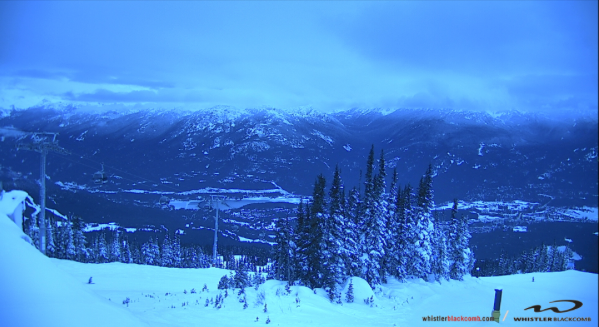
Another Pacific storm is heading Whistler's way with heavy rain expected in the valley later today and up to 22 centimetres of fresh snow falling overnight tonight in the alpine.
Environment Canada has issued a special weather statement for the south coast including Whistler with the storm expected to bring strong, warm southeasterly winds this afternoon.
"The heavy rain and strong winds will continue all day on Friday. Areas of Squamish ... [are] expected to receive significant amounts of rainfall," said the statement.
Whistler is expecting snow for the next seven days at least in the alpine, with mixed rain and snow in the valley.
For more on Whistler Blackcomb weather go here.
Avalanche Canada is warning those heading out in the backcountry to stick to simple terrain. "Avalanche hazard is not going to get much better before it gets a lot worse," stated the website for the Sea to Sky region.
On-going avalanche risk includes storm slabs and persistent slabs said Avalanche Canada.
"We are confident the likelihood of avalanche will increase with the arrival of the forecast weather," said the website. Go here for more.
To monitor forecasts go to Environment Canada here. To report severe weather, send an email to BCstorm@canada.ca or tweet reports using #BCStorm.


