"I can make Kang Khao Island," my paddling partner said, "it's only 15 kilometres." We had just rounded the southwestern point of Phayam Island and conditions were good to cross the strong currents of Ratchakrut Channel. A few hours later, we landed on a narrow strip of beach, where the only signs of life were footprints of crab-eating macaques in the sand. Talk about getting away from it all.
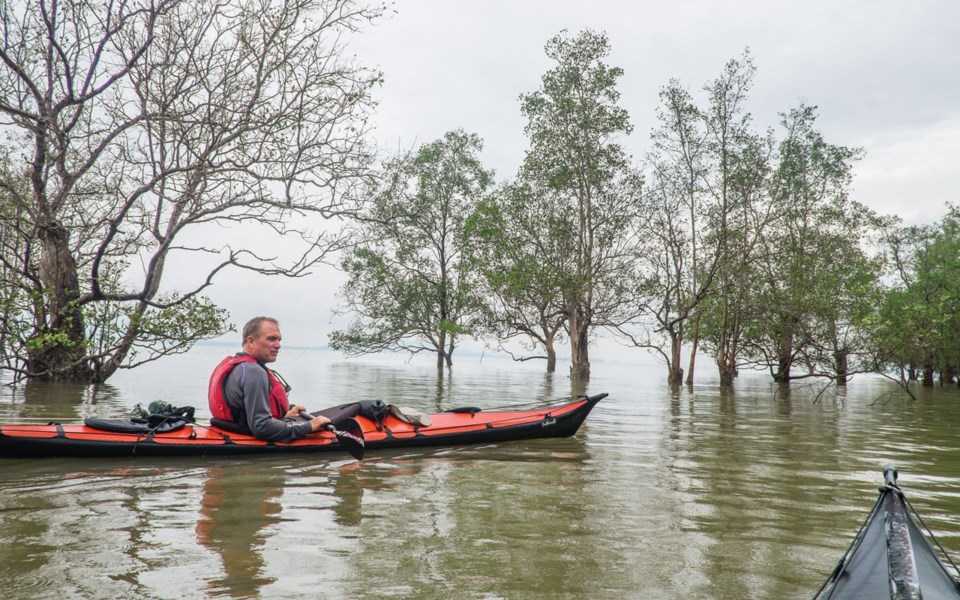
Ian Taylor and I were on our third kayak expedition along Thailand's west coast in our Vancouver-made Feathercraft collapsible kayaks. These boats have proven capable of handling the unpredictable waters of the Andaman Sea.
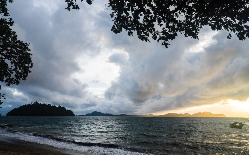
Thailand has more than 3,000 kms of coastline and hundreds of islands, many remain surprisingly unknown. Ranong Province, next to the Myanmar border on the Andaman coast, is perfect for paddling and camping. Its empty beaches, massive mangrove forests and uninhabited islands remain unspoiled and unexploited.
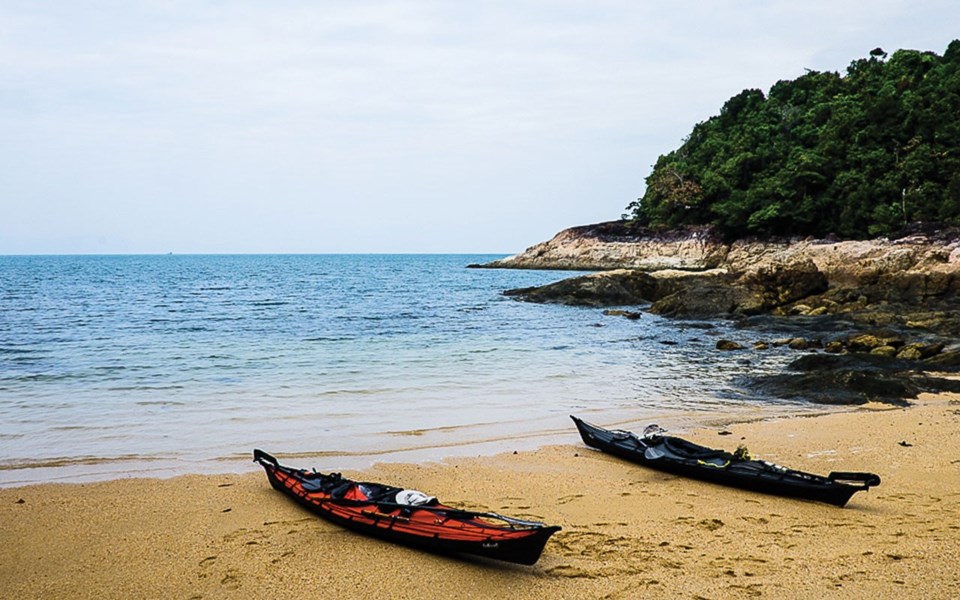
Paddlers should note this coast is exposed to the Andaman Sea, so swell can be big, building across the unimpeded waters between here and the Indian subcontinent to the west. Surf-launch and surf-landing skills are a must. As well, tidal forces can lift these waters as much as 3.5 metres on the way up and fall the same six hours later.
Tide charts are widely available and anybody who paddles without one is a fool—you might have to lug gear several hundred metres across a muddy flat or watch your kayak float away as the water rises.
Land access to this coastline is limited so a good base is Phayam Island, roughly 25 kms from the mainland town of Ranong. Rent a beachfront bungalow (they vary from typical Thai bamboo to air-conditioned resorts), get acquainted with the Andaman Sea, practice launch and landing and explore sheltered bays and mangrove forests. Phayam's north point often provides a lesson in what can happen when swell, wind and tide collide, creating a soup-bowl of froth.
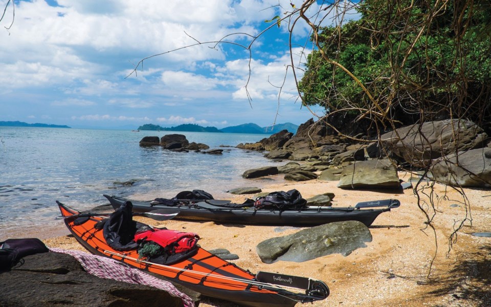
Neighbouring Chang Island has a scattering of bungalows, allowing a leisurely two-to three-night trip around the island without camping. Don't miss my fav place, Green Banana on Aow Lek at the southern tip.
Explore the mangrove forests of the 300 sq-km, UN-designated Ranong Biosphere Reserve and camp on nearby Sai Dam Island or head further south to Bang Ben National Park, at the narrow mouth of Khlong Kapoe. Khlong ("estuary" in English) Kapoe has three long watery arms clawing deep inland toward the mountains revealing subsistence fishing villages, mussel farms and a myriad of waterfowl. Most of the region is under the protection of Laem Son National Park. Use a flood tide to push you in to explore the estuary and let the ebb pull you out.
Southward, in the tiny fishing community of Baan Talae Nok, there is a homestay and offshore, Mu Koh Kum Islands National Park is back in business after its offices were levelled in the 2004 tsunami. I went there 10 days after witnessing the tsunami and saw the destruction firsthand—the island had been ripped in two. Staff returned in 2013, so visitors can now spend a few days exploring these idyllic and uninhabited islands.
Crossing into northern Phang Nga Province puts you in reach of three large islands. Ra Island, the most northerly, has a national park office on the northern end with camping, freshwater shower and a friendly park staff. Its west coast is dotted with stunning beaches, where a solitary sunset camp is yours.
A narrow channel separates mountainous Ra Island from the flat—and intensely bio-diverse—Phra Thong Island. A turtle breeding program, mangrove protection strategy and safari-style, savannah wildlife tours to view deer, storks and hundreds of bird species have been put in place since the tsunami.
A few dugong survive here and the immense mangrove forest on the east side of the island is reputedly home to a few saltwater crocodiles. Local schoolchildren are learning about their environment and starting to lead nature tours. Rent a nearby bungalow on the west side or camp on the endless stretch of beach.
Next door, Khao Island has one lonely resort and long stretch of empty beach, a far cry from the southern half where resorts abound and the tourism engine revs up. It's a good place to start the return journey north to Phayam Island, hitting the spots you missed on the way down.
And perhaps discovering macaque footprints in the sand.
Tim Morch is a chronic traveller who dreams of being a writer when he grows up. Whether in the saddle of a bicycle or motorcycle, the cockpit of a sea kayak, riding a wave or trekking a backcountry trail, Tim has a love of adventure and a passion for discovery. You can learn more about him at timmorch.com.