
Hunker down or hit the hill?
Environment Canada has issued a winter storm warning for Whistler and the Sea to Sky corridor.
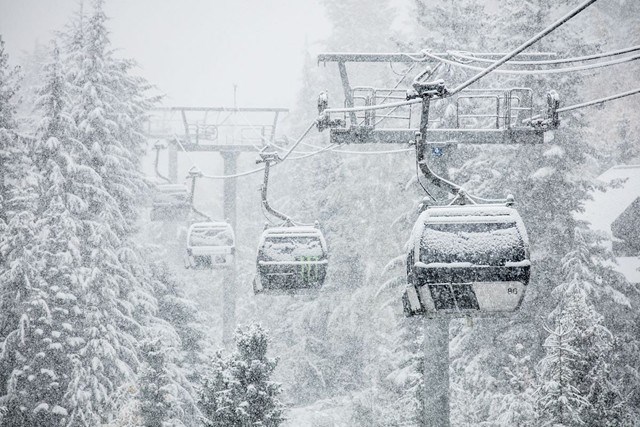
A total of 20 cm of snow is expected for Squamish with 30 to 40 cm predicted further north throughout the day on Saturday, Jan. 18.
“Consider postponing non-essential travel until conditions improve,” the warning reads. “Rapidly accumulating snow will make travel difficult. Visibility may be suddenly reduced at times in heavy snow.”
To that end, drivers are reminded to “adjust to winter driving behaviour and use winter tires and chains,” it continues.
Keep on top of road conditions at drivebc.ca.
Meanwhile, the avalanche forecast for the Sea to Sky backcountry is rated at high for all terrain—alpine, treeline, and below treeline. That rating is expected to last until Monday.
“Rapid and continuous loading of new snow, strong wind, and rising temperatures are expected to bring a widespread natural avalanche cycle to the region this weekend,” Avalanche Canada says. “Very large avalanches may run to valley bottom. Travel in avalanche terrain is not recommended.”
For more, visit avalanche.ca/forecasts/sea-to-sky.


