
Heavy snow is expected to fall on the local mountain highways this weekend.
Environment Canada has issued a winter storm watch for the Coquihalla Highway, Okanagan Connector and Highway 3 from Hope to Princeton. More than 20 cm of snow is expected to fall on the highways Saturday, along with strong winds.
“A strong Pacific frontal system is forecast to move into the southern Interior late Saturday bringing snow and strong winds,” Environment Canada says.
“The snow will be heaviest Saturday night, especially for the coastal passes where accumulations of more than 20 cm are likely. Southwest winds gusting to 60 km/h will also create poor visibility in blowing snow.”
While snow is expected Saturday, it's currently raining at the Coquihalla Summit. Snow appears to be falling on the Connector's Pennask Summit Friday afternoon.
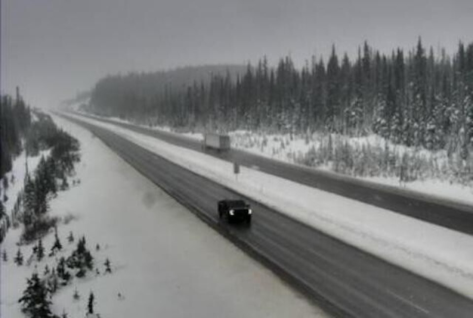
Further east, heavy snow is falling over Rogers Pass. In a snowfall warning first issued Thursday, Environment Canada is calling for 15 cm to fall on the Trans-Canada Highway, between Eagle Pass to Rogers Pass, and on Highway 3, from Paulson Summit to Kootenay Pass.
Heavy snow is expected to continue in the area Saturday as well.


