
Both the federal and provincial governments continue to work on earthquake preparedness programs, but gaps remains in systems to keep people and infrastructure safe, Union of BC Municipalities annual conference delegates heard Sept 24.
Earthquake and tsunami mapping can be improved and B.C.’s building code could be updated to include existing buildings, experts said.
Sahar Safaie, working as a consultant for the City of Vancouver, said the city still contains “killer buildings.”
She said the B.C. building code provides for earthquake preparedness for new buildings but added mandatory measures could be added for existing structures.
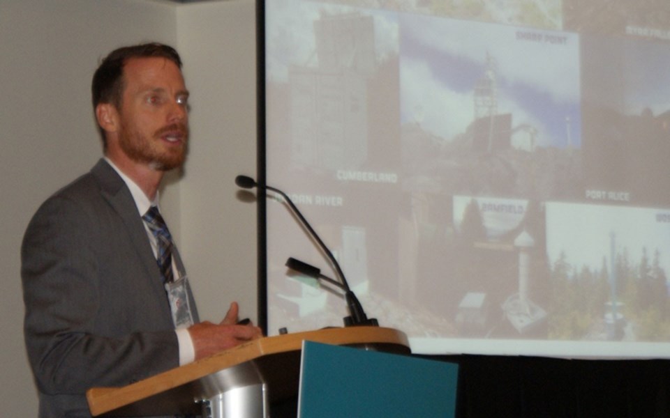
And, said Strathcona Regional District protective coordinator Shaun Koopman, there is no in-depth tsunami mapping for coastal areas of B.C.
Moreover, said Koopman, who lost family and friends in Haiti’s 2010 earthquake, BC Hydro is working on a 20-year plan for seismic upgrades for dams. That is key, he said, as a dam on the Campbell River system is his city’s only water supply.
Koopman also stressed the need for partnerships outside government to include retailers offering earthquake preparedness beyond just survival kits. He said U.S. West Coast retailers offer items to secure household objects to prevent injuries, noting 90 per cent of earthquake injuries are caused by falling objects.
“You got any major retailer in Oregon and they have some seismic safety products,” he said.
And, said Emergency Management British Columbia director of planning, mitigation and partnerships Kathryn Forge, work focuses on disaster risk reduction and mitigation. Part of that work looks at residual risk – a focus on managing social, economic and other problems after a disaster.
But, she said, there are gaps in earthquake hazard maps around issues such as land liquefaction and landslide potential. She called tsunami modelling “sparse and inconsistent.”
The primary threats to B.C. come from the Cascadia subduction zone stretching from northern Vancouver Island to Cape Mendocino, California, dividing the Pacific Plate and the Juan de Fuca Plate.
Natural Resources Canada geophysicist Tiegan Hobbs said Canada experiences 4,000 earthquakes a year, 3,000 of which are in B.C. And, she said, they’re not limited to coastal areas.
“No one is immune,” she said, adding, “The big one we’re waiting for,” will come from the Cascadia zone.
And, delegates heard, that big quake could cost $75 billion.
Hobbs explained that emergency planning looks at quakes and where people and infrastructure might be vulnerable.
And, said Teron Moore of Ocean Networks Canada, advance warning sensors deployed on the ocean floor assist work.
However, he cautioned, they only say the quake is coming. He said operators of a piece of infrastructure such as the Vancouver’s Canada Line train could receive 68 seconds notice to get people to safety.
The sensor systems start analysis immediately and then feed data to multiple receiving sensors. If one of those goes down, another can handle data, Moore said.
@jhainswo


