
Environment Canada is warning residents of British Columbia's southern Interior of possible heavy rain and thunderstorms as flood risks rise in the region.
The weather agency says areas including the Fraser Canyon, the Okanagan, Kamloops and parts of the Shuswap could see overall rainfall of up to 40 millimetres, along with "heavy showers with embedded thunderstorms."
Environment Canada says the precipitation could create localized flooding as well as landslides in areas with vulnerable landscapes such as those burned by past wildfires.
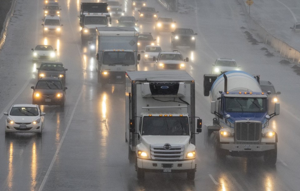
The same weather system is also forecasted to bring possible wet snow over higher elevations, and motorists on the Coquihalla, Okanagan Connector and Highway 3 are asked to be cautious.
B.C.'s River Forecast Centre has placed some southeastern parts of the province along the Alberta border, including Cranbrook, Invermere and Golden, under a flood watch.
The Okanagan, Shuswap and Kamloops, meanwhile, are under a high streamflow advisory, with a possible rapid rise to river levels and minor flooding of low-lying areas.
This report by The Canadian Press was first published June 21, 2025.
Chuck Chiang, The Canadian Press


