
Have you ever pondered the collapse of the Barrier and the sudden and subsequent draining of Garibaldi Lake?
How often do you watch plumes of dust billow up from Mount Currie as rocks tumble down?
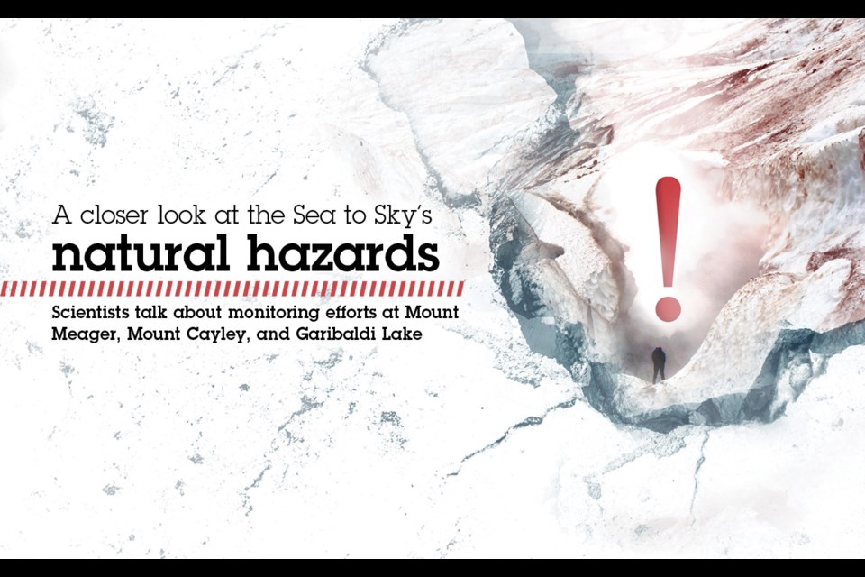
Do you ever let your imagination run wild thinking about Mount Meager erupting once again?
While it’s always good to be aware of the natural hazards that surround the Sea to Sky corridor, you can take some comfort in knowing that scientists from local universities are quietly monitoring many of these potential—and fascinating—threats.
A handful of experts offered a peek into some of that work during the Sea to Sky South Mitigating Natural Hazards Risk Workshop, which took place for community members on Zoom last month. (A similar workshop was held for Sea to Sky north communities the day before.)
Led by Veronica Woodruff, a Pemberton consultant who co-owns Clear Course Consulting and is studying natural hazards through a master’s degree at Royal Roads University, the workshop revealed the results of a survey that delved into how locals would respond in the case of a natural disaster. In total, there were 633 responses from people throughout the corridor.
“I think it’s important to note these kinds of alternative viewpoints and tailor your communications to a whole range of opinions,” Woodruff told the group.
“Eighty-five per cent of people said they’d pack up, they’d be ready to go in a moment’s notice [in response to an evacuation alert],” she said. “Fifteen per cent noted they would make their own decision on whether they would take an evacuation alert seriously. And, it was also noted in the comments, that … almost a dozen people said they would probably go, but their partner would stay.”
Further to that, 11 per cent said they would rely on their own judgment to decide if they would follow an evacuation alert and nine per cent would check with a neighbour or friend before deciding.
The top three hazards that locals feel are most likely to affect them include forest fire, followed by flood, and landslide. Debris flow and earthquake trailed closely behind.
Other follow-up data—which Woodruff released in January—found that almost 47 per cent of people have a prepared 72-hour emergency kit for their home while only 34 per cent have a grab-and-go kit for a short evacuation notice.
Just over 69 per cent of respondents, meanwhile, have signed up for their government jurisdiction’s emergency notification alert system.
“We will be meeting with our academic partners [at] the end of February to discuss next steps for research priorities,” Woodruff says in a follow-up email.
After Woodruff’s opening presentation at the workshop, Glyn Williams-Jones, a professor of volcanology at Simon Fraser University and co-director at the Centre of Natural Hazards Research, shared current and future monitoring and research plans for Mount Meager and Mount Cayley. He was followed by Steve Quane, a volcanologist and physical sciences tutor in geology at Quest University, who talked about research at Garibaldi Lake, held up by the precarious Barrier, among other work.
Mount Meager
For those who don’t know, Mount Meager is an active volcano that is “currently gassing through Job Glacier,” Williams-Jones said.
It’s been a point of focus for him and other researchers since 2016, when those gases were first discovered. “We’re trying to tackle some really interesting and fundamental projects, both for the sake of volcanic history, but also things like renewable resources, such as geothermal energy.”
In the past, researchers have mapped the 2010 landslide that happened there—the largest in Canadian history—to look more deeply at that event; one of Williams-Jones’ graduate students recently finished one of Canada’s first volcano hazard maps by looking at three eruption scenarios and their implications; and another student conducted research years ago to identify 25 to 27 slopes that are moving.
“We’ve finally got a webcam set up that’s given us satellite telemetry data, one image daily … so we’re starting to get the ground-base monitor going,” Williams-Jones said. “The key thing is it’s not one approach that is going to be that silver bullet; you really need to integrate a whole suite of different approaches.”
Going forward, they hope that includes cameras, some infrared to measure hot gases, gas monitoring to measure the toxic levels of hydrogen sulphide and carbon dioxide emerging, and also low-cost instruments like a $1,000 sensor that will measure earthquakes and low-frequency sound.
“It’s a non-trivial exercise on mountains like Mount Meager because of the snowfall, three to four metres, easily, even on some wind-blown ridges,” he added.
While the team tried this summer to build on work done by a geotechnical company that looked at the structural geology of the mountain and expand on its three-dimensional numerical modelling, as well as bring in higher-resolution images to understand which areas are weakest and where to set up real-time monitoring, COVID-19 foiled that plan. “Everything is ready to go for late next spring once the ground is amenable,” Williams-Jones said.
Mount Cayley
This mountain is another area with significant debris flow, Williams-Jones said.
It’s earmarked as a good location for low-cost monitoring instrumentation. “We’re hoping to set up an R&D project to see what we can detect and actually start working on an alerting system on, say Mud Creek and Terminal Creek,” he added. “Then, ideally, maybe taking advantage of some recent developments—Elon Musk’s SpaceX and Starlink, using satellite internet feed to ideally give us a real-time response. So we’re hoping to get that going again early in the spring.”
Overall, Williams-Jones hopes to bring various data into a system that allows for widespread access for both academics and the public.
With support from the Canadian Mountain Network, they’re currently building a natural hazards data portal as a one-stop-shop for real-time and historical data.
“There’s an [academic niche] this project can fill because … it’s basically trying to bring all these disparate datasets together in one place and [allow] the general public to commit to contributing as well,” he said.
Garibaldi Lake/ Rubble Creek
One of the defining features of Garibaldi Lake is the Barrier. It’s a “300-metre tall, unstable volcanic cliff,” Quane explained.
“We’ve seen that the lava flow [from Mount Price’s eruption] came down, hit the glacier, dammed the valley, had nowhere else to go, [and] went back up in that direction,” he said. “And so, we’ve created a system where we have a trillion cubic metres of water perched at 1,400 metres elevation behind an unstable volcanic dam.”
To that end, his team decided to monitor the water in that system and how it might move in the future.
“If we can see the levels of this water and watch them over time, we can see if there’s any changes whether it be climate change or a natural hazard event,” Quane said.
Essentially, they found the flow of the water, in part, comes out below the Barrier. “The water, we think, is flowing along … between the underlying bedrock and this approximately 11,000-year-old lava flow that filled the valley. So we have an unstable dam that has pressurized water flowing beneath it. I’m certainly not an engineer, but that doesn’t sound like, unless you meant to do it, a great situation for stability,” he said.
After this discovery, Quane decided to install monitoring stations last summer at three spots in Garibaldi Park, including one on the new dock near the BC Parks ranger station.
“It’s a PVC pipe with a device in it that tells me how much pressure of overlying water is on top,” he said. “So if the lake level goes up and down, it will give a different pressure signal to my device and then I can translate that into how much water is in the whole lake because I now have the topography of the lake bottom, so I know the volume of the lake.”
He has another at “overflow creek.” A third was located at Rubble Creek, although that one was taken out by a landslide and never found.
What the monitoring found was Garibaldi Lake went up and down with the season with “overflow creek” mimicking the levels.
“What we’re seeing from early summer to early winter is that we have quite a bit of variation in Garibaldi Lake, an overall trend of going down, and same with overflow creek, a trend of going down. But we do have some spikes,” he said.
One major spike was from a storm event that brought 100 millimetres of rain in two days. The monitoring found that the water coming out from under the dam wasn’t coupled with the level of the lake.
“When the lake fills up, Rubble Creek stays the same,” he said.
“That was quite interesting and it’s going to be meaningful when we think about how to monitor the split.”
Last winter, the researchers also had an opportunity to look at Garibaldi Lake while it was frozen and clear of snow. One of Quane’s students set up a system in which she anchored a pressure gage to the bottom of the lake and left it for the entire season.
“What happens in the winter is the water in the lake goes down,” he said. “There’s no real input in the lake, so the water is just draining from the bottom of the Barrier, like we saw in the summertime.”
In the end, they determined that all year round, there is water coming out from beneath the barrier.
“What I’m trying to figure out now is how do we measure that flow,” Quane said. “If a landslide or some other event happened it would probably dam the Cheakamus River, Daisy Lake is right there that’s already dammed, so we might have a significant event come down to Squamish.”
His idea now is to install more low-cost monitoring systems on the bridge where Rubble Creek goes under Highway 99.
“That would allow us to have a low-cost system to monitor this area in case an event were to happen,” he said. “Relatively inexpensive monitoring can be done on a system like this that can give us a heads-up of whether or not the system is changing. We can look at longer-term changes like with climate change or they can be punctuated events that might be a hazard that we really need to respond to quickly.”


