
Whistler backcountry advisory as of Wednesday, Feb. 10:
There’s snow at the end of the tunnel!
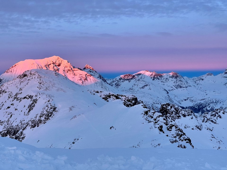
A week of clear skies and chilly temperatures in Whistler almost certainly has you pining for the dark and stormy days of winter to return. There’s some good news in store! Over the weekend we are expecting a change of scenery as our embedded arctic air finally yields to a Pacific low-pressure system that is set to deliver some new snow to the region.
Unfortunately, the cold and clear period between our last snowfall and the upcoming storms has created a bit of a problematic setup.
The cold means our snow surface has gradually evolved into dry, sugary, and generally weak, faceted snow. The clear means we almost certainly have some new and slippery sun crusts formed on solar aspects, and the combo of cold and clear overnight periods has more than likely formed a fragile new layer of feathery surface hoar in more sheltered areas away from wind or sun exposure.
Not ideal!
The setup isn’t perfect, but I bet you’re more than happy to manage a new avalanche problem in exchange for a top up of new snow.
To manage the evolving situation, start by carefully monitoring accumulations. Up to about 10 or 15 centimetres, instabilities from the new snow will likely be fairly limited to areas where the wind is actively loading snow. Think about the immediate leeward side of ridges and wind-exposed terrain features. Not only does snow add up faster here, it’s much more likely to take on the character of an unstable slab that’s easily triggered by a person or machine.
If we’re lucky enough to receive around 20 cm or more new snow, start narrowing your terrain options to low-angled slopes where avalanches are unlikely to run, as well as doing more to limit your exposure to overhead avalanche terrain.
While the amount of new snow we ultimately see from these storms is still a bit uncertain, it seems pretty clear that the motley crew of weak grains and slippery surfaces it lands on will make for active avalanche conditions.
You might not need to sell your soul for this new snow—but you will need to keep a close eye on conditions to stay safe!


