
Whistler could see up to 20 centimetres of snow fall in the valley before the first weekend of November.
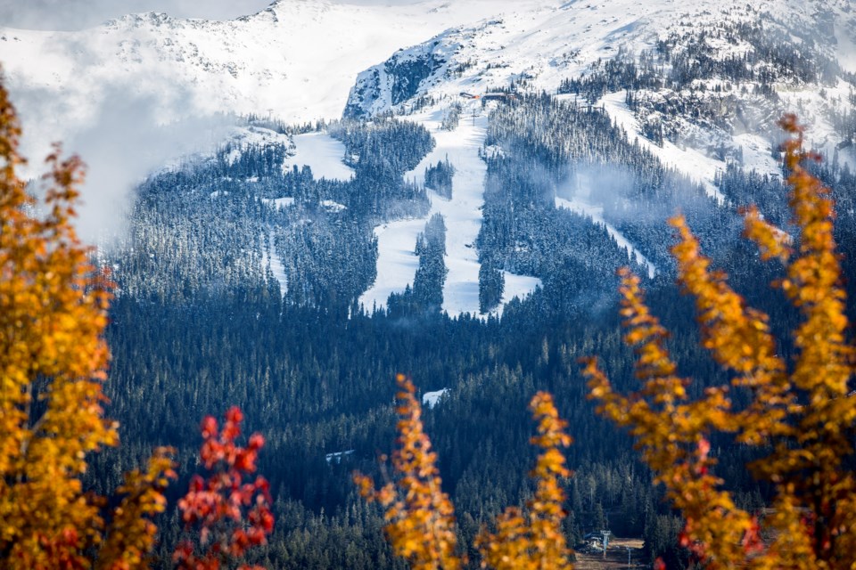
After a couple of sunny days offering Whistlerites a peek at the now mostly snow covered alpine, Environment Canada issued a special weather statement for Whistler on Wednesday morning warning of heavy snow beginning Thursday afternoon, Nov. 3, and lasting through until Friday morning.
With temperatures dropping to a high of zero degrees C in Whistler Thursday (that will feel more like minus 7 in the morning, with the wind chill), forecasters say an incoming atmospheric river will dump between 10 and 20 cm of snow over Highway 99 between Brandywine and Pemberton.
"Moderate, gusty southerly winds" are expected to further reduce visibility in the blowing snow, and could create hazardous driving conditions.
Freezing levels are predicted to start rising above the valley floor starting Friday morning before peaking at around 2,000 metres elevation by Friday afternoon. That means the snow will turn to heavy rain before precipitation eases up later in the day, according to Environment Canada.
"In the wake of the trailing cold front, freezing levels will plummet back to the valley bottom by early Saturday morning," the special weather statement added.


