
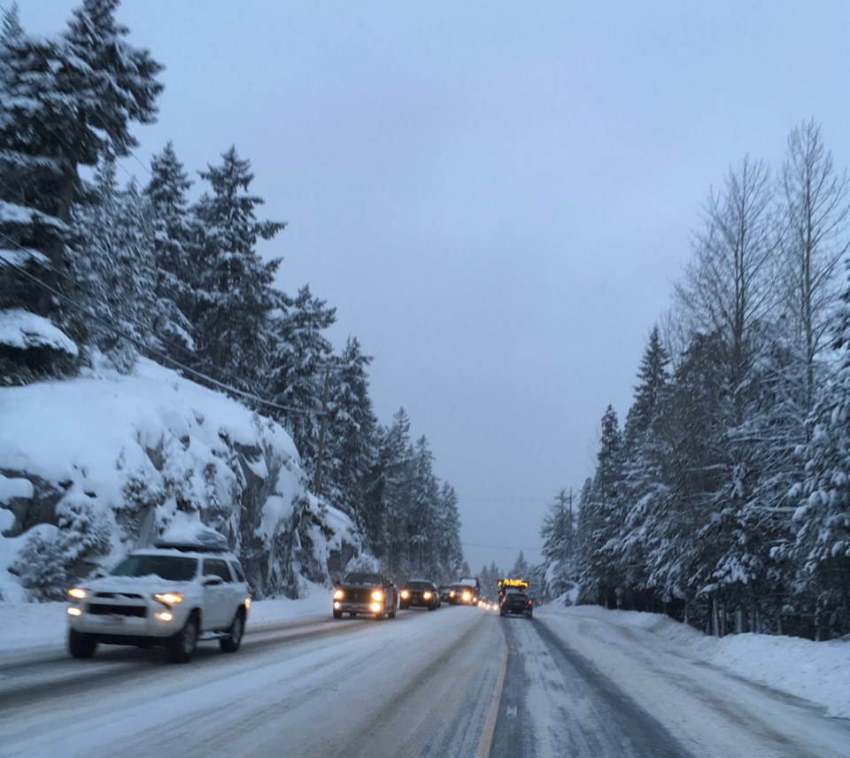
Environment Canada has issued a snowfall warning for Whistler and the Sea to Sky Highway with total amounts of about 15 centimetres expected tonight.
"A significant atmospheric river event will bring heavy snow to the Sea-to-Sky highway and Whistler area tonight. Up to 15 cm of snow is forecast to accumulate before the warm air ushers in a change to heavy rain late overnight or Sunday morning as snow levels rise to 1,700 metres," stated the alert.
It warns to watch for fast-changing road conditions and accumulations of heavy snow in some locations.
As of Oct. 1, winter tires are mandatory for all vehicles on Highway 99, as well as all highways in the north, the Interior, and sections of some highways (including Highway 99) on the South Coast and on Vancouver Island.
Tires marked with the mountain/snowflake symbol offer the best traction in snow and ice, while those marked with the M+S symbol are better than summer tires, but less effective in severe winter conditions than the mountain/snowflake tires.
While winter tires are not mandatory provincewide, they are required on a majority of B.C. highways. Drivers without the proper winter tires in good condition driving on designated B.C. highways can receive a fine of $121.
Commercial vehicle operators, meanwhile, are required to carry chains on most routes in B.C., as indicated by road signs, as of Oct. 1.
Winter tires and chain requirements are in effect on the majority of designated highways from Oct. 1 to March 31. On some select highways, including mountain passes and rural routes in snowy areas, the requirements are extended until April 30. These highways are marked with signs.
For more info on winter tire regulations and winter driving, visit shifttowinter.ca.
Road conditions are available at www.drivebc.ca.
Meanwhile, the Howe Sound region is expecting up to 150 millimetres of rain starting tonight and into Monday said Environment Canada. "Rising freezing levels with melting snow giving rise to increased river flows and localized flooding," stated the alert.
"A significant atmospheric river event will bring copious amounts of rain and near record temperatures to the B.C. south coast beginning late this afternoon (Nov.13). As the warm front approaches, steady rain will develop late this afternoon."
The rain will be heaviest Sunday afternoon and Sunday night ahead of the cold front. The heavy rain will ease on Monday as the cold front pushes the precipitation out of the region. Near record temperatures will also accompany this system.


