
BACKCOUNTRY UPDATE: As of Tuesday, Feb. 21
A bit of new snow accumulation early in the week, lots of wind, and cold temperatures define the period leading up to the last weekend in February. Arctic air will likely stick around until the weekend. A change in the weather pattern may happen sometime during the weekend. The change will bring more snow and warming temperatures, reflecting seasonal norms.
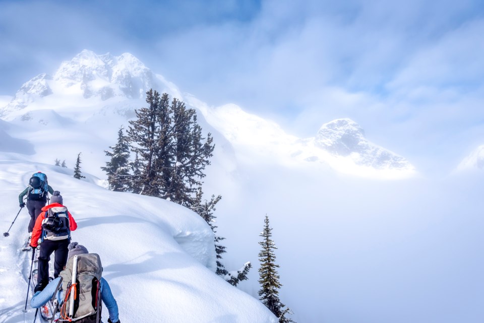
Given the colder and clearer weather through the end of the week, now is a great time to observe surface conditions before the switch to stormier weather. Some observations to watch for include:
Have recent wind events created hard surfaces in the alpine?
Did the cold temperatures earlier in the week cause facets to develop on the snow surface?
Did large surface hoar form in wind-sheltered areas around treeline?
All these features are potential weak layers or sliding surfaces that may contribute to avalanche danger rising more rapidly if/when storm snow starts to accumulate.
We’ve covered how the upper snowpack may develop, but don’t forget about what is buried deeper. There has been a persistent slab problem lingering around in areas west of the Sea to Sky Highway. Given the weather conditions, we would expect this problem to stick around in the short term. The complication with this persistent slab problem is that the layers are deep enough that we are a lot less likely to see clues, like nearby avalanche activity, whumpfing, or cracking snow. If you do experience any of these then of course it is a strong sign to keep things tame, but remember that the first sign of trouble could be triggering a high-consequence avalanche.
Make sure you check the latest forecast at avalanche.ca and read up about how the snowpack and avalanche problems are developing before heading out. n


