
BACKCOUNTRY UPDATE: As of Tuesday, April 11.
Put your sunny, spring-skiing dreams on hold and get ready for another winter storm. A significant wintry storm is expected to impact the South Coast this weekend. The storm will bring the typical trifecta of strong winds, heavy precipitation, and fluctuating freezing levels.
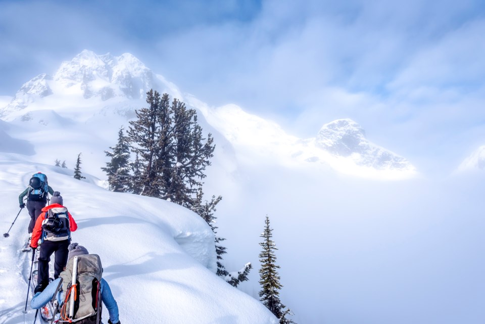
With a big storm comes a big step back from avalanche terrain. While the new snow may provide decent powder skiing at higher elevations, it can quickly turn into heavy, dense storm slabs that create challenging skiing conditions and potentially dangerous avalanche conditions. However, the silver lining is that storm-slab instabilities that form during relatively warm periods settle and bond faster than they do in cold temperatures.
But don’t rush out into big terrain! New snow requires time to settle and stabilize. Human-triggered avalanches are still possible in the days after the storm. Short periods of avalanche activity typically occur at the end of a storm during periods of warm, sunny weather. Additionally, recent storms have built up large and fragile cornices, so be sure to give overhead hazards a healthy respect, especially during periods of strong sun.
As always, check the latest forecast at avalanche.ca to stay up to date on how the snowpack and avalanche problems are developing. Remember to be patient and stay safe—spring skiing is on its way.


