
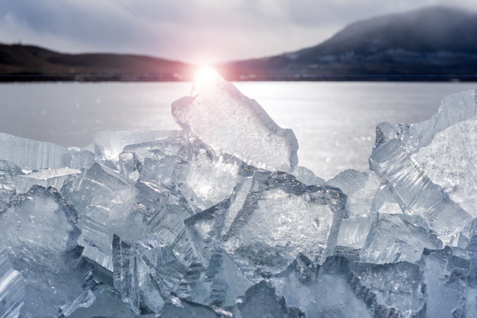
Snowpack data as of May 1 shows flood risk has "increased considerably" in the province, with high levels in the North Thompson and Similkameen regions but continued low levels in the Okanagan.
B.C.'s River Forecast Centre published its latest Snow Survey and Water Supply Bulletin Tuesday, which states that cool weather in April has delayed snow melt.
"Continued cool weather in May is increasing the risk for major flooding if a prolonged heat wave occurs later in the month or June," the report states.
As of May 1, the average snowpack in the Okanagan is 83 per cent of normal, up from 74 per cent last month.
The North Thompson's average snowpack is at 128 per cent of normal, up from 119 per cent last month, and the Similkameen's is 108 per cent of normal, up from 94.
"Seasonal to below seasonal temperatures were measured for the start of May which has delayed the melt of the well-established snow pack. The major risks over the following two months are an extreme heat event or widespread heavy rainfall events. A combination of intense heat directly followed by heavy rain is a worst-case scenario," the River Forecast Centre says.
Snowpack is only one indicator of potential flooding.
Last year saw several extreme weather events that could impact flooding this year, including the June “heat-dome,” the summer's widespread wildfires and the November “atmospheric river” floods.
"The unprecedented and catastrophic flooding that occurred in November 2021 has made many rivers more vulnerable to freshet high flows. Fortunately, the May 1 snow pack in the Nicola, Similkameen and Lower Fraser is near normal. However, due to the significant erosion and possible changes in river channel morphology that occurred within many areas (including but not limited to the Coldwater River, Nicola River, Tulameen River, Coquihalla River and lower Fraser River), rivers may be at increased vulnerability to flooding at lower levels than previous freshet seasons," the report states.
It concludes the most likely cause for major flooding would be a period of persistent cool temperatures and wet weather followed by a sudden, lengthy heat wave.
"There is evidence that the 1948 and 1894 floods on the Fraser River were caused by this scenario," the report reads.
"Wrap-around low pressure, or cold low, systems pose an additional risk of primarily rain-driven flooding. The risk of these events occurring increases in June and typically extends into July. These systems can deliver extreme rainfall which wraps around the province and typically leads to upslope precipitation enhancement within eastern slope mountainous regions. These can be augmented or enhanced by snowmelt and high antecedent streamflow conditions."
The River Forecast Centre will continue to monitor the situation and provide an updated bulletin on May 20.


