
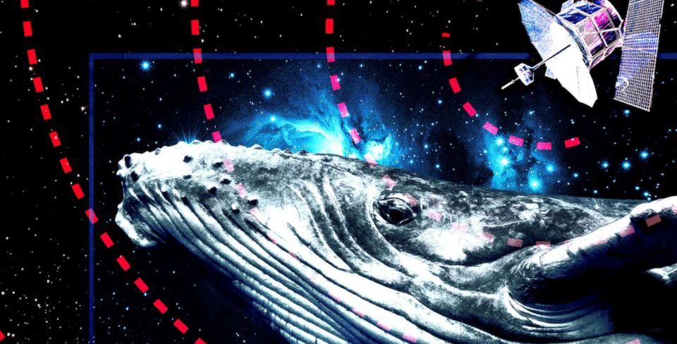
Scientists on Canada’s coasts are exploring the use of satellites to surveil whales and other ocean “megafauna” to better monitor and protect at-risk ocean species.
The rapid advance of very high-resolution (VHR) satellite imagery and dropping costs are providing conservationists with opportunities to locate, count and monitor wildlife and their critical habitat from the cosmos. The technique is especially helpful in remote areas or expanses of ocean that are difficult for scientists to access.
In October, University of Ottawa researchers were the first to identify a particular endangered North Atlantic right whale (NARW) using satellite images. Newly available high-resolution images, along with ideal weather conditions, showed the large, distinctive white scar on the back of a whale named Ruffian, one of the approximately 336 critically endangered whales.
This latest research benchmark is part of the smartWhale project — a large federal initiative launched in 2021 by the Canadian Space Agency and the Department of Fisheries and Oceans (DFO) along with Transport Canada to advance the use of satellite data and computer algorithms to detect, monitor and protect right whales.
VHR satellite imagery is also being explored to detect and estimate beluga, narwhal and possibly even walrus populations in the Arctic as part of the Space Whales and Arctic Marine Mammals (SWAMM) program — the other large initiative currently underway in Canada.
A total of 292 beluga whales and 109 narwhals were detected after analyzing 12 VHR images taken in August 2017 and 2019 by the WorldView-3 satellite of two locations near Baffin Island frequented by belugas during the summer.
A wave of interest is also rising on the B.C. coast to employ space technology to detect and protect large at-risk ocean species, including blue, fin, grey and humpback whales and endangered basking sharks, said Rebecca Martone, executive director for the Ocean Decade Collaborative Centre Northeast Pacific Region.
DFO and the Ocean Decade centre held a two-day webinar and workshop at the beginning of November to explore the feasibility and potential use of satellite data in the region, Martone said.
VHR satellite imagery is an important complement to traditional surveys from shore or with aircraft, drones, hydrophones or boats to better understand at-risk species and their movements across vast areas to improve their survival and recovery, she said.
Whale populations on the Pacific coast don’t group together and are spread across large areas, Martone said.
“It helps to have every kind of tool in your toolkit to be able to find them.”
The technology’s use isn’t limited to whale detection. It could also be used to monitor marine protected areas or do assessments and manage risks such as shipping lanes or oil spills, she added.
The idea to use satellite imagery to detect whales surfaced two decades ago, but the resolution of the available images initially wasn’t good enough. That changed when the U.S. allowed commercial satellite image companies to produce higher quality images in 2014. The successful identification of southern right whales in Argentinian waters with satellite photos occurred soon after.
The value of satellites to understand whales also isn’t limited to monitoring the living.
Studies have showcased how satellites can help locate, assess and perhaps even prevent whale strandings in isolated areas. Space photos were used to examine the death of 350 sei whales that washed ashore in Chile’s Patagonia region in early 2015 — the largest baleen whale mass stranding ever recorded.
Understanding why and where whale strandings occur, especially if they are repeated or involve large numbers, is vital for researchers. It helps identify and prevent persistent human-caused threats such as ship strikes or pollution, or larger climatic or ecosystem problems, such as the toxic algal blooms triggered by warming waters that caused the sei whale mortality event.
On the brighter side, satellite imagery can also discover unknown hot spots of at-risk species. One stellar example involved researchers looking at NASA photos for massive guano stains that ultimately revealed hidden colonies of 1.5 million Adélie penguins on the Danger Islands north of the Antarctic Peninsula.
There are still limiting factors to the technology, but most are likely to improve as advances continue apace, Martone said.
Images and data downloads from space do not occur in live time, nor are commercial satellites capable of homing in on small details or identifying features, as Hollywood spy movies suggest.
Detecting whales or basking sharks in the Pacific Northwest, with its mercurial weather, can be compromised by cloud cover, sun glint, heavy waves and poor water clarity, or floating debris such as logs and rafts of seaweed.
The resolution of most images is also still too low to clearly distinguish between different whale species of similar size shape such as grey, humpback and fin whales that co-exist in the same waters, Martone said. And animals that aren’t close to the surface of the water are more difficult to detect or identify.
Eleven satellites currently capture photos of Canada, which are distributed through four major commercial image companies. Generally, the best imagery has a spatial resolution of 30 centimetres, meaning it captures details that are greater than or equal to 30-cm square.
But Worldview-3 satellite imagery can now be sharpened or enhanced to 15 cm, a feature expected to allow researchers to distinguish between some types of whales or even particular individuals, such as the identification of Ruffian the right whale. It’s anticipated that 10-cm resolution images might be available in 2024, Martone said.
Examining lots of images manually is extremely time consuming for researchers, she said. Work is underway worldwide to develop algorithms and machine learning to automatically sift through and detect different marine mammals in large datasets of satellite images.
Under the federal smartWhale project, $5.3 million was divided up between five tech companies and whale research teams to develop systems for two purposes: to detect and monitor North Atlantic right whales and predict or model their movements to protect them from vessel collisions or entanglement in fishing gear.
Finding enough varying images of an individual whale species to use as input to train a detection system can be tricky, Martone said.
No system to date can differentiate between specific types of whales, meaning researchers would still need to inspect flagged images to identify which species of whales on the Pacific Coast were captured.
VHR satellite imagery can be cheaper and safer when surveying remote Arctic areas or the open oceans, but it’s still costly to buy images at a large scale for non-government organizations, academics, First Nations or developing nations.
But prices for satellite imagery are dropping, and scientists can target areas and dates that might offer useful images, such as whales' breeding grounds, for good population counts or buy useful archival photos at reduced prices.
Endangered Pacific basking sharks are an ideal for a pilot project using satellite imagery to study ocean creatures on the Pacific coast, Martone said.
The sharks, which are believed to migrate to B.C. waters from California in the summer, can be 12 metres long. Their size and grey-brown colour, which contrasts well with the ocean, along with their habit of spending a lot of time lounging on the surface of the water makes them good candidates for satellite monitoring.
The slow-moving giants are rarely spotted, Martone said, with only 37 confirmed sightings between 1996 and 2018. There’s little data to inform protection efforts, with estimates suggesting only 321 to 535 basking sharks might ply Canada’s Pacific waters.
“It’s like looking for a needle in a haystack,” Martone said.
Satellites can cover more of the sharks’ open ocean habitat, increasing the likelihood of spotting them and learning more about them, she added.
“Spying on them from space can …help make sure their population is recovering.”
Rochelle Baker / Local Journalism Initiative / Canada’s National Observer


