
If you don't already have a white Christmas, the song is the only one you're likely to get, says Environment Canada's chief climatologist.
"If you don't have snow now, you're not going to get it," said David Phillips. "Many areas that traditionally have a white Christmas, it's going to be touch and go."
That's OK by Anna Lenz, who was sitting outside with a coffee Thursday along Edmonton's Jasper Avenue with her two doggies in her lap.
"They're loving it," she laughed.
"We can go out and walk and come here for a coffee with only a vest on. That's nice."
The technical definition of a "white Christmas," said Phillips, is two centimetres of snow that actually sticks around.
"That's the Canadian standard. Millions of Canadians won't have one."
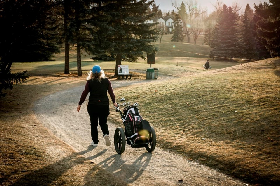
Calgary's few scruffy patches of crust are awaiting their fate in the face of forecasts for well-above-freezing temperatures and warm chinook winds. Ottawa, where big dumps are common, lawns are covered with an icy powder that won't do for sledding or snowballs — but at least sparkles nicely in the sunlight.
In Montreal, toboggan runs off Mount Royal are closed, and heavy rain and mild temperatures have closed skating rinks.
After two white Christmases in a row, Vancouver is almost certain to end its streak this year.
Cypress Mountain north of Vancouver said on social media platform X, formerly Twitter, that it had to close on Tuesday "due to inclement weather," with high temperatures forecasted to reach 9 C on Friday and sunny weather expected throughout the weekend before rain returns on Christmas Day.
It's the same everywhere you look.
From Prince Rupert, B.C., to Corner Brook, N.L., and from Inuvik in the Northwest Territories to Iqaluit in Nunavut, snow packs at the end of November were between 10 and 15 centimetres below average. Some places, such as southeastern B.C., are 50 centimetres short of average.
That means that southern Canada is almost without any appreciable snowpack at all.
Environment Canada's snow map uses brown dots to show snowless stations and it's brown from coast to coast. Edmonton, Saskatoon, Winnipeg, Toronto, Montreal, Halifax — all brown dots.
Skiers are keeping their good skis in the closet. Online ski reports suggest 41 resorts across the country have opened an average of only one-third of their runs.
If you want snow, you have three choices — the Newfoundland coast along St. John's, Quebec's Saguenay region and a tiny pocket of the Rockies in deep southwest Alberta. All have 15 to 20 centimetres more than average — not epic, but enough to roll a snowman or slide down a hill.
"The snow hasn't had a chance to collect," said Phillips.
"It's just been too warm and too dry. We've been setting all kinds of records for warm temperatures and that's been the situation for all the summer and certainly into October and November."
Phillips is already concerned about the effect of the dry weather on next year's crops and forests.
"Moisture is very concerning on the Prairies," he said.
"Last year's forest fire conditions started because of winter conditions. It's not looking good at a time when we should be recharging the soil moisture."
Almost the entire country is rated "abnormally dry," Environment Canada's five-stage drought map indicates. Some places in southern Alberta are already "exceptional" — the top of the scale.
Parts of B.C. continue to see extreme drought conditions, with the Peace River and Fort Nelson regions deemed Level 5 – the highest level of drought activity with “adverse impacts almost certain," the province says.
El Nino — a periodic weather system that brings warm weather to much of North America — is behind part of the strange weather. This year, the system began early and strongly, Phillips said. As well, Arctic air pushing down into southern latitudes hasn't been as cold as normal.
But it's all taking place in a changing climate that made 2023 the hottest summer around the globe in recorded history.
"El Ninos are different now," said Phillips. "This one is taking place in the context of a warming world."
Lenz knows it. She loves the unaccustomed warmth, but can feel its dark side.
"Global warming, you can see it happen. It's worrying."
This report by The Canadian Press was first published Dec. 21, 2023.
-- with files from Chuck Chiang in Vancouver.
Bob Weber, The Canadian Press
Note to readers: This is a corrected story; An earlier version had the incorrect style for Corner Brook, N.L.


