
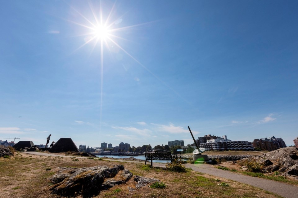
A heat-related special weather statement has been issued for much of Vancouver Island as an ongoing heat wave scorches much of the province.
Environment Canada issued the advisory for the east and inland Island on Tuesday morning, citing a long duration of above-seasonal temperatures.
It said the warmer-than-usual temperatures will likely remain until Thursday, when cloud cover is expected. Cooler temperatures overnight should give some relief.
Temperatures are forecast to hit 27 C in Campbell River, 35 C in Port Alberni, 30 C in Nanaimo and 35 C at Lake Cowichan.
A heat warning is also in effect for inland sections of the north and central coasts, including Terrace and Kitimat, the Fraser Canyon, South Thompson and South Okanagan. Temperatures in the Interior are forecast to reach as high as 39 C.
In Lytton, the mercury hit 41.3 C on Monday, marking the hottest temperature of 2025 in Canada.
Lytton was among 16 areas of B.C. that set new daily maximum records for Aug. 25, including Whistler, Pemberton, Kamloops, Kelowna and Cache Creek.
Matt Loney, a meteorologist with Environment Canada, said the heat is expected to ease on Friday as cooler marine air arrives along the coast and trickles into the Interior, though the first week of September is expected to be hotter than normal.
Loney said the ridge of high pressure that has brought late-season heat to B.C. may “cut off” the cooler system expected to move over the province.
“It’s going to be kind of a standoff,” he said
“The computer models are suggesting that the upper ridge might win out and actually be able to stall the upper low and even send it back retrograding westward.”
Loney says that means parts of B.C. may see a warmer first week of September with less rain than normal, but the forecast becomes less clear after that.
Overall, temperatures are declining as fall approaches, he said.
“Generally speaking, they’re on their downward trend. But as we’ve seen, you can still hit 40 degrees this late in the year.”
Lytton has hit 41 C as late as Aug. 30 in the past, Loney adds.
In 2021, Lytton set the record for Canada’s hottest temperature of 49.6 C. The next day, a wildfire destroyed most of the village.
The number of wildfires across B.C. has been holding steady at about 70, but B.C. Wildfire Service has warned that the hot, dry conditions would raise the fire risk.
The service’s map showed four fires burning on Vancouver Island as of midday Tuesday.
The Manson Creek fire near Nanaimo was being held at 8.6 hectares after being discovered on Sunday.
The Mount Underwood fire, which led to a series of evacuations and knocked out power to the Bamfield area for almost two weeks, was also being held.
Two other fires — Wesley Ridge east of Port Alberni and Nahmint Mountain, to the city’s west, are considered under control.
Environment Canada offers the following advice for dealing with the heat:
- Reschedule outdoor activities to the morning or evening hours when temperatures are cooler
- Watch for the effects of heat illness: heavy sweating, rash, cramps, fainting, high body temperature and the worsening of some health conditions.
- Never leave susceptible people, particularly children, or pets inside a parked vehicle.
- If you are in an overheated area, seek a cool place such as a tree-shaded area, splash pad, misting station, or air-conditioned spot like a public building.
This report by The Canadian Press was first published Aug. 26, 2025.


