
Happy Friday, Whistler! Here's how things are looking out there so far.
Today's forecast calls for a chance of showers (and a risk of a thunderstorm later this afternoon) with a high of about 28 C in Whistler. A low of 12 C is expected overnight, with a chance of showers. Looking to tomorrow, the forecast calls for sunshine, with a high of about 28 C.
Find Whistler Blackcomb's operational hours here.
Want more local weather? Check out Pique's Weatherhood page here.
If you're hitting the local trails, be advised—another coyote alert has been issued following several reports of coyote activity in the area.
"The Conservation Officer Service is advising the public to keep dogs on leash after receiving multiple reports of coyote activity along Whistler’s mountain bike trail network," reads a post on the Resort Municipality of Whistler's website. "Recent sightings were reported near the Hot Dog Alley and Whip Me Snip Me trails on Aug. 25."
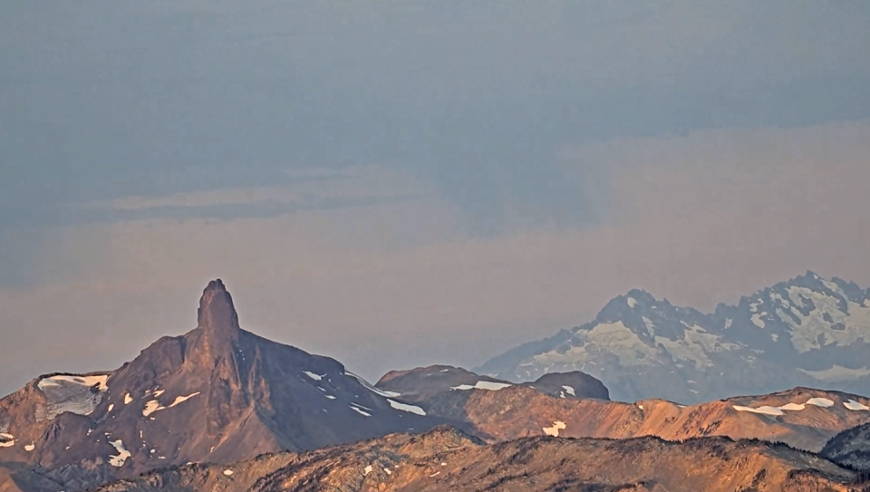
Find up-to-date webcam views using the Whistler Peak site or app.
The local fire danger rating is currently high. No fires of any kind are allowed in Whistler now until Sept. 15, no matter the fire danger rating—including campfires and fireworks.
The BC Wildfire Service is showing four small fires in the area this morning, all west of Pemberton. The largest is about five hectares, and burning out of control near Rutherford Creek. Just west of that, a smaller out-of-control fire is burning 0.009 hectares this morning, while another out-of-control fire is burning 0.6 hectares southwest of that near the Squamish River. The fourth, also by the Squamish River, is now being held at 0.009 hectares.
All are believed to be lightning-caused.
The air quality in the resort currently a 1/10—low risk.
DriveBC is showing no major disruptions on Highway 99 this morning.
Whistler is currently in Water Conservation Stage 2, which means certain limitations on watering.
Follow this link for the latest posted gas prices in the corridor.
Follow @wbmtnops on Twitter for the latest on-mountain conditions.
Stay safe out there, and check back with Pique for all the latest Whistler news.
Got suggestions for Whistler this morning? Email us at [email protected].


