
Researchers from Simon Fraser University (SFU) have developed Canada’s first national open-source dataset for cycling infrastructure, a move they say will address data equity issues between cities and make it easier for decision-makers in places such as Whistler to promote active transportation options.
The project, headed by SFU’s Cities, Health and Active Transportation Research (CHATR) Lab, identifies bicycle infrastructure in neighbourhoods in 15 Canadian test cities—including Whistler—using a standardized classification system, and is derived from OpenStreetMap.org, a crowdsourced mapping tool.
“This national dataset provides consistent, common names, data types and quality information that was not available before,” said CHATR Lab lead and Faculty of Health Sciences professor Meghan Winters in a release.
Previously, Winters explained, such large-scale national studies were hampered by different cities classifying their biking infrastructure in various ways, using different labels, or communities not having access to spatial data nor the capacity to produce infrastructure maps.
Researchers extracted OpenStreetMap data and classified it based on tags, as well as nearby features, landcover, and network attributes (such as whether there is traffic calming or diversion along a route). Additional data was overlaid on top of this map using the Canadian Bikeway Comfort and Safety Classification System (CAN-BICS), assigning structures into high-, medium-, and low-comfort categories.
As sizable investments are made into cycling infrastructure across the country, the tool is designed to assist local, provincial and federal governments in making better informed planning decisions.
“Being Whistler-centric, if it helps us grow cycling use and bike culture, absolutely we need to optimize it,” said Whistler councillor and Transportation Advisory Committee member Arthur De Jong. “At the end of the day, we will go as the globe goes. I like the idea that we’re sharing and building knowledge and applications together nationally. I think it’s a very healthy thing.”
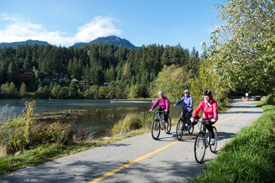
The interactive mapping tool shows that, out of 48.6 kilometres of cycling routes in Whistler that meet CAN-BICS standards, only 0.6 km falls under “low comfort,” representing painted bike lanes; 43.7 km is considered “medium comfort,” representing multi-use paths such as the Valley Trail; and 2.3 km is categorized as “high comfort,” meaning cycle tracks, bike-only paths, and local street bikeways. The research also found 173.8 km in Whistler are considered “non-conforming” to CAN-BICS standards, such as gravel trails, shared lanes on major streets, and mixed-traffic local streets.
Nationally, researchers noted that multi-use paths and painted bike lanes are the most common forms of cycling infrastructure, and that a priority for improving OpenStreetMap data moving forward is “improving consistency and completeness for high comfort infrastructure where cycling is separated from other modes of travel and on local street bikeways with traffic calming and diversion.”
That’s something 2022 council hopeful and cycling advocate Brendan Ladner has been pushing for in Whistler, but he believes there isn’t the political will locally to make the kinds of infrastructural changes needed to significantly shift more drivers onto bikes and transit in order to meet the community’s ambitious 2030 climate targets.
“It would be easy for us to do what we need to compared to most other places. It’s just political will,” he said. “Do we have the guts to even talk about what the targets are and then make a plan? A plan has to have numbers and measurables, and all the plans we have are just good intentions.”
Among the measures Ladner has floated is improving highway infrastructure to make it easier for bikers to travel safely and quickly on Highway 99, through adding a dedicated bike lane, erecting underpasses, and closing particularly crowded turnoffs to cars.
De Jong largely agreed with the need for drastic measures to help “out-convenience” the car and incentivize more active transportation modes.
“Cars are considerably safer to get into than a bike, and that’s a fundamental issue we need to address,” he said. “Let’s kick the tire hard on an express lane through the valley. Imagine a third lane between Creekside and the village for bikes only. The convenience, the speed is greatly enhanced.”
De Jong also agreed with Ladner that the municipality needs better, more fulsome data on cycling in Whistler, particularly around total trips made by bike, something the councillor said he has asked for before.
“We do have a few counters on the Valley Trail in the summer, but I think it’s more towards park use. I have not seen a hard number,” he said. “When I get different issues or projects put in front of me, it’s a rarity that there are enough metrics. We need more metrics, absolutely.”


