
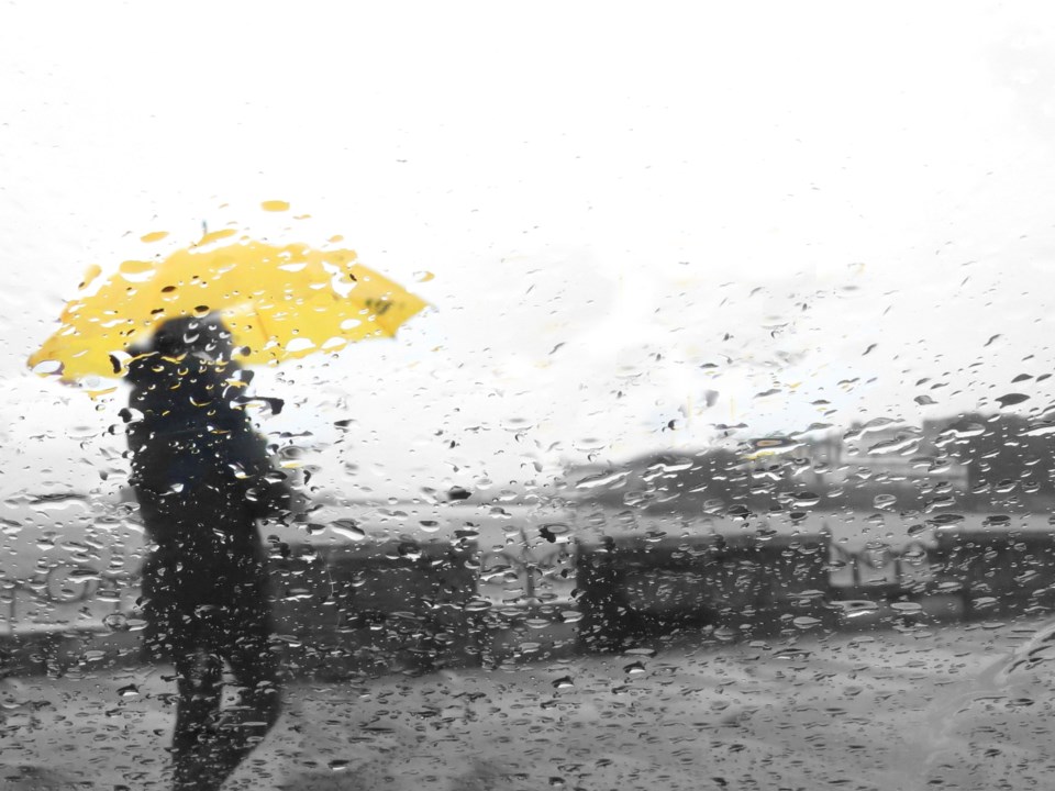
A rainfall warning is in effect for Whistler and the Sea to Sky on Wednesday evening, with potential for between 60 and 120 millimetres of rain between now and Friday, according to a Government of Canada alert.
"A moist frontal system will approach the BC south coast this evening then stall through Friday, giving an extended period of rainfall," the alert reads. "Total rainfall amounts of 60 to 120 mm are expected with the highest amounts near the North Shore mountains, Howe Sound and West Vancouver Island. The rain will ease late Friday."
Heavy downpours can cause flash floods and water pooling on roads, the alert cautioned, adding that drivers should turn on their lights and maintain a safe following distance. "Localized flooding in low-lying areas is possible. Watch for possible washouts near rivers, creeks and culverts," it said.
To report severe weather, send an email to [email protected] or tweet reports using #BCStorm.
Whistler Blackcomb gave some insight into Thursday operations in an Instagram post on Wednesday.
"Overnight, we will see significantly strong winds gusting from 50-80 km/h on the mountain. Winds are expected to remain high throughout the morning, easing up as we head into the afternoon. These conditions will likely impact our lift operations. Guests should expect delays and possible closures for some lifts—especially in the Alpine," the post read.
"The freezing level overnight and into Thursday will be high, hovering between 1800 and 2000m with ongoing precipitation that will ramp up to 80mm later in the day. Expect wet/heavy snow conditions on the bottom half of the mountain."
Follow @wbmtnops on Twitter for the latest.


