
As of Tuesday, April 18:
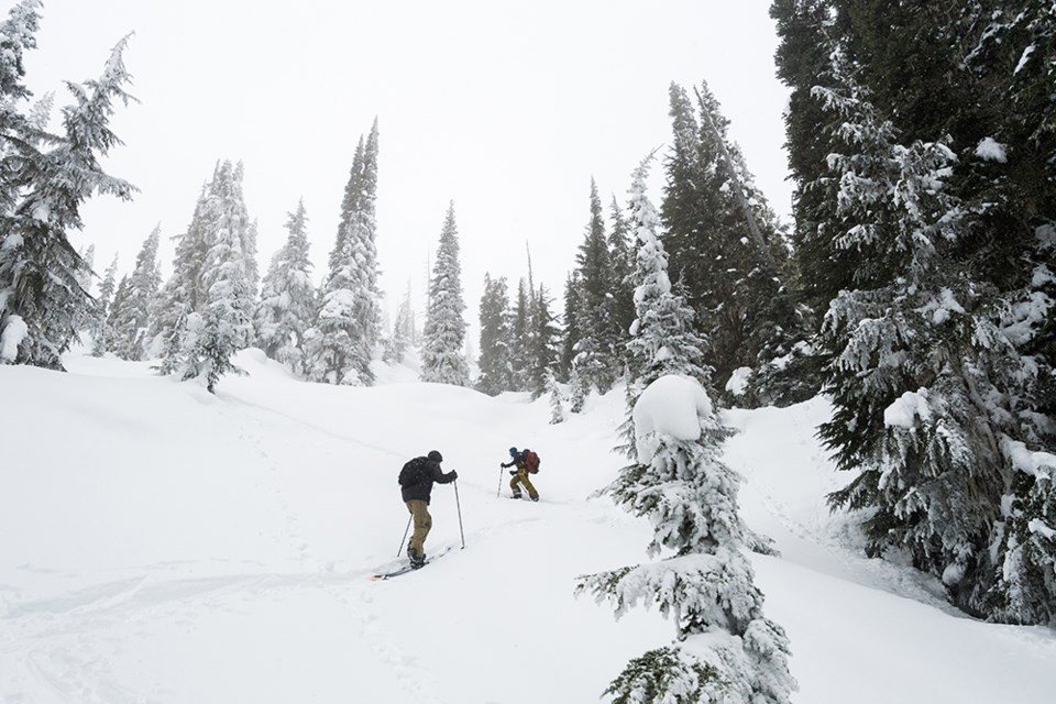
April powder? We’ll take it! The weekend’s weather forecast calls for snow, strong wind, and cloudy skies. The freezing level will likely be between 1,500 to 2,000 metres, which means that alpine elevations should receive snow, while lower elevations may see a mix of rain and snow.
With the stormy weather, backcountry users should expect elevated danger ratings. Wind slabs and storm slabs are likely to develop, especially on steep alpine slopes.
To stay safe during stormy weather, it’s best to avoid high consequence terrain. What does high consequence mean? We’re talking about very steep or large slopes that could result in an injury or death. Think steep couloirs, large and open bowls where wide-propagating slabs could be triggered, or slopes with terrain traps such as cliffs, gullies, and crevasses.
To stay safe during stormy weather, it’s best to stick to low-angle terrain (less than 30 degrees) that doesn’t expose you to overhead slopes.
To stay safe in the backcountry during this stormy weather:
Stick to low-angle terrain (less than 30 degrees) that doesn’t expose you to overhead slopes.
Carefully monitor the bond between the new snow and old surface.
Watch for signs of instability like whumpfing, hollow sounds, shooting cracks or recent avalanches.
Be wary of ridgelines, where cornices could be present and could fail naturally or from your weight.
Enjoy these powder days while we still get them!


