
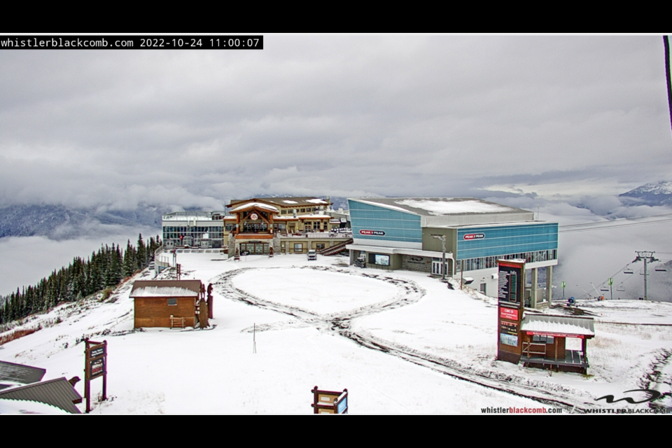
Whistler woke up to its first snowfall of the season on Monday morning, Oct. 24.
After a prolonged fall drought that brought weeks of unseasonably warm, sunny weather to the Sea to Sky corridor, a drastic drop in temperatures coupled with some long-awaited precipitation meant most locals kicked off the work week by brushing a layer of soggy snow off of their vehicles.
After Whistler Blackcomb's peaks received a light dusting of snow over the weekend, the resort's alpine forecast called for three more centimetres to cover the Roundhouse elevation throughout the day Monday, with another centimetre expected to fall overnight.
The wet, cloudy weather will continue into Tuesday, with Environment Canada predicting periods of rain, at times mixed with wet snow early in the morning, with a high of 4 degrees C. Whistler Blackcomb is expecting to see about 9 cm of snow accumulate on its slopes Tuesday, while even more precipitation is expected later in the week: the resort's weather forecast is predicting about 35 cm of snow accumulation in the alpine on both Thursday and Friday.
The first snow to hit the valley this fall comes exactly one month before Whistler Blackcomb is scheduled to open for the winter season.
Scroll through the photo gallery above to check out the scene in Whistler on Monday morning.
Photos courtesy of Whistler Blackcomb, Tourism Whistler and Whistler Peak webcams.


