
As we start to transition out of winter and towards spring conditions, there are a few things to keep in mind. One is the stronger impact that the sun has at this time of year: The heat from the sun can result in cornices weakening and failing, and can trigger avalanches on solar aspects.
When cornices heat up, they lose strength and can fail. Cornice failures are dangerous for a number of reasons. If you are travelling on a corniced ridge and one collapses below you, the fall alone could cause serious harm. If travelling below a cornice, the volume of snow associated with a cornice failure can be similar to being involved in a large avalanche. Additionally, cornices are heavy and they can trigger slab avalanches when they hit the slopes below.
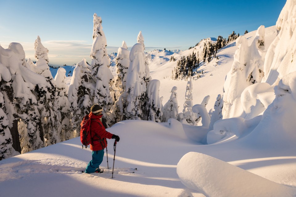
Springtime is when cornices are usually at their largest as they have been growing all winter. Pay attention to where they exist, give them a wide berth, and move quickly to minimize time spent below them.
When a slope facing the sun heats up, the snow becomes weaker as it melts. In the early season, only steep, south-facing slopes feel the impacts of the sun, but as the season progresses lower-angle south, southwest and eventually west- and east-facing slopes begin to feel the heat too.
When the snow surface begins to feel moist, it is weakening; it’s wise to avoid steep slopes with moist snow on them. This is really worth keeping in mind when trip planning. Solar aspects that are frozen in the morning may pose little danger, but they can heat up and present a significant hazard by the afternoon. Make sure you take this into consideration so you don’t find that your route out of the mountains at the end of the day has become more hazardous than expected.
For the coming weekend, it looks like the Sea-to-Sky region will get a healthy reminder that we are indeed squarely in the middle of the seasonal transition by offering up a day of sunny spring weather on Saturday, followed by a winter storm on Sunday, with a possible 20 to 30 centimetres expected. Be ready to change your mindset from one day to the next. Things can, and do, change quickly at this time of year!


