
The heavy rain falling across the Sea to Sky Thursday could bring more impacts to the corridor than a few closed lifts.
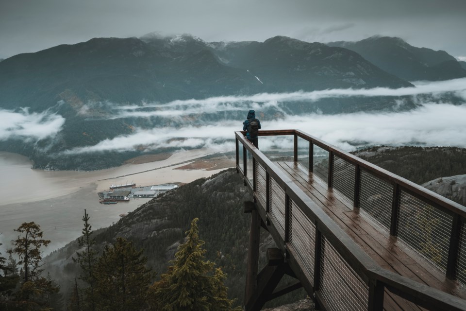
A flood watch issued by the province's River Forecast Centre remains in effect on Jan. 12 for the Howe Sound area, including tributaries around the Squamish, North Shore, Sunshine Coast, Central Vancouver Island, East Vancouver Island and South Vancouver Island regions. Emergency Info BC alerted the public to the flood watch in a tweet late Thursday morning.
Adjacent areas including Whistler, Vancouver, the Fraser Valley and the North and West Coasts of Vancouver Island were instead placed under a "High Streamflow Advisory," the lowest of the B.C. River Forecast Centre's three tiers of warnings.
Under a high streamflow advisory, "River levels are rising or expected to rise rapidly, but no major flooding is expected. Minor flooding in low-lying areas is possible," according to the agency.
A flood watch, meanwhile, means river levels in the area are rising and will approach or exceed bankfull, which could lead to flooding near the affected rivers.
With heavier rain forecast for higher-elevation terrain and rising freezing levels expected into Friday, conditions "will contribute to additional runoff from snowmelt at mid-elevations," the River Forecast Centre explained in the flood watch notice.
"Rivers are expected to rise through Thursday, with current peak levels anticipated on Friday and into Saturday," the alert continued. "Weather forecasts currently have the heaviest rainfall anticipated in the North Shore Mountains, Howe Sound area. Weather forecasts and hydrologic modelling is indicating the potential for precipitation totals and river flows to reach or exceed 5-year return period values."
According to Environment Canada, the atmospheric river currently dumping rain over B.C.'s South Coast could bring up to 100 millimetres of total rainfall to the region before precipitation eases on Friday, Jan. 13.


