
The heavy snow has turned to heavy rain for Whistler this week.
Environment Canada has issued a rainfall warning for Howe Sound, including the Sea to Sky highway between Squamish and Whistler on Wednesday, Jan. 12. The region could see rainfall amounting to 75 to 100 millimetres by this evening, or "possibly more over the Coast Mountains," according to the weather agency.
The precipitation has rolled into the region thanks to yet another atmospheric river system flowing into the coast from the southwest. The heavy rain is predicted to ease later this afternoon.
"The heaviest rainfall is expected to fall near the Coast Mountains in favourable, upslope locations," the warning explained.
Whistler saw a total of 27.4 mm of precipitation fall over the resort on Tuesday, and is expecting to see 30 mm more Wednesday. For context, the rainiest Jan. 12 on record in Whistler occurred last year, when 30.4 mm of rain fell.
Compounding the risk is rising freezing levels, which rose to about 2200 metres in Whistler Wednesday. According to Environment Canada, snowmelt over these higher elevations will contribute to runoff, which could result in high stream levels and localized flooding for some regions.
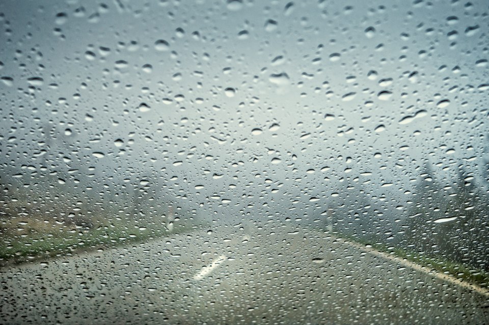
The weather agency warned motorists that heavy downpours can cause flash floods and water pooling on roads. "Don't approach washouts near rivers, creeks and culverts," the alert advised.
While drivers in Whistler took to social media Wednesday to warn of dangerously pooling water between Nordic and Alta Vista, the Duffey Lake Road section of Highway 99 remains in both directions for 81.3 kilometres, due to avalanche danger between Lillooet and Pemberton. "Numerous avalanches" have swept across the road since Tuesday, according to Drive BC. An assessment is in progress, with the next update expected to come at 6 p.m. Wednesday.
The BC River Forecast Centre, meanwhile, issued a High Streamflow Advisory for the entire southwest corner of the province, including Whistler, earlier this week. That advisory remains in effect Wednesday. The alert warns of river levels that "are rising or expected to rise rapidly," but says no major flooding is expected. However, minor flooding in low-lying areas is possible.
The Resort Municipality of Whistler is asking residents to clear snow away from storm drains whenever possible, and also reminds locals of the significant hazards that could be found overhead this week. "Overhanging snow and ice will potentially slide from roofs," the RMOW noted on its website.
The rain is expected to ease up Thursday, as a high pressure system moves into the area. Whistler's forecast calls for a chance of showers on Jan. 12, before clearing to a mix of sun and cloud on Friday and Saturday. Temperatures are expected to reach a high of about 3 degrees C in the valley over the next three days.


