
The Sea to Sky is in store for a few centimetres of fresh snow this week.
Environment Canada issued a snowfall alert for the Sea to Sky highway between Squamish and Whistler Wednesday morning, Dec. 7, warning of an incoming cold front that will bring between 10 and 20 centimetres of snow to the corridor by Thursday evening.
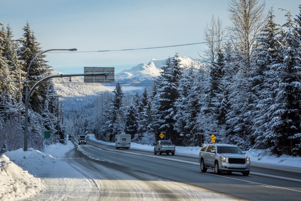
Whistler's slopes might be begging for more flakes, but the weather agency reminds drivers the heavy, rapidly-accumulating snow will also "result in reduced visibility and deteriorating driving conditions" for anyone looking to hit the road over the next 24 hours.
The cold front carrying that precipitation is currently crossing B.C.'s South Coast. Flurries are expected to to begin late Wednesday afternoon, before intensifying overnight and through Thursday.
Environment Canada warns motorists to prepare to adjust their driving as road conditions change.
Whistler Blackcomb's snow report anticipates about five to eight cm of snow overnight Wednesday at the Roundhouse/Rendezvous elevation, with a further six to 10 cm expected Thursday. Aside from the one-to-four cm predicted to fall throughout both Friday and Saturday, the forecast from Sunday onward, as meteorologist David Jones explains in today's Powder Picker episode, is looking relatively dry.
Temperatures, meanwhile, have warmed up considerably from last week's cold snap. Environment Canada's forecast is calling for a daytime temperature of -1 C on Thursday afternoon, though that will feel more like -8 C with the windchill, before conditions drop to a low of -4 C overnight.


