
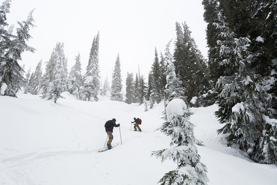
The Sea to Sky has seen a dramatic shift in weather this week. Following a very cold and snowy start to the year, a series of warm and wet fronts rolled through this week, creating conditions that change significantly with elevation.
Terrain below 2,000 metres saw fairly heavy rainfall over Tuesday and Wednesday, likely saturating the snow surface. Terrain above 2,000 m received mixed precipitation and snow, with strong winds. All elevations saw natural avalanche activity, with wet avalanches in terrain that received significant rainfall and dry avalanches in terrain that remained above the freezing line.
The wet weather is expected to give way to a high pressure system, with freezing levels remaining high on Friday. The weekend will see a mix of sun and cloud, and freezing levels gradually falling back to 1,000 m by Sunday morning.
As you head into the backcountry this weekend, be aware the landscape has changed. Remember to approach all avalanche terrain with fresh eyes. Where the snow was impacted by rain, a supportive melt freeze crust will likely form on the surface as the weather cools. Avalanches are unlikely where a thick surface crust is present, but it will make for challenging travel conditions. The crust will thin higher up towards the freezing line and become less supportive.
If you head to higher elevations in the search for dry snow, expect to find a variety of wind-affected surfaces. Avalanche hazard may decrease following this storm, however wind- loaded features in the treeline and alpine may still hold slabs reactive to a human trigger. Check the forecast at avalanche.ca to get the most up-to-date information.
CONDITIONS MAY VARY AND CAN CHANGE RAPIDLY. Check for the most current conditions before heading out into the backcountry. Daily updates for the areas adjacent to Whistler Blackcomb are available at 604-938-7676, online HERE, or go to avalanche.ca.


