
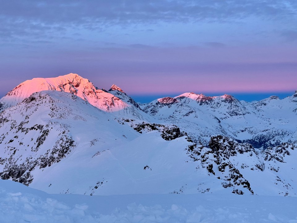
At what point can we say that the coastal snowpack has seen it all? This winter has gifted us with cold and snowy conditions, deluges of rain, and, recently, sunny and tropical conditions. All this is to say that the snowpack has been put through its paces.
The past week of warm weather produced small, wet avalanches in most areas. Activity was fairly limited compared to the large, natural wet avalanche cycles from early January’s heavy rainfall and high freezing levels. A new crust has formed at mid and lower elevations that will be buried by snow forecast for the weekend. In higher terrain, dry snow is still available for transport into wind-loaded pockets, with the possibility of powder in sheltered terrain.
Friday signals a shift in air masses, with an approaching Pacific frontal system dislodging the ridge of high pressure. Cloud cover will increase and freezing levels will fall. Light-to- moderate snowfall is forecast for the weekend.
Avalanche activity is unlikely where a supportive crust sits on the surface. However, as snowfall accumulates above the crust, it will provide a bed surface for storm slab avalanches to slide on. Head to sheltered terrain features at higher elevations to find the best riding conditions. Like the weather, be fluid with your travel plans and check conditions as you move through the backcountry. If you push into bigger lines and more consequential terrain, be on the lookout for pockets of wind loading near ridgelines and cornices made weak from the heat.
Check avalanche.ca for up-to-date forecasts on how the weekend is shaping up.


