
The Sea to Sky corridor is in store for snow tomorrow, according to Environment Canada.
With just a couple of weeks left until Whistler Blackcomb reopens for winter operations, the weather agency on Sunday afternoon issued a special weather statement in effect for the Howe Sound and Sea to Sky corridor.
According to the statement, a frontal system headed toward the region could combine with the modified arctic air that's already in place to produce snowfall over the south coast on Monday, Nov. 9, and Monday night.
The cold air, coupled with the front, could see the white stuff accumulate over neighbourhoods and roadways above 200 metres in elevation—putting an end to the clear, sunny conditions Whistler experienced over the weekend.
"In Howe Sound where colder air will reside, snow is expected to accumulate near sea level," the statement reads.
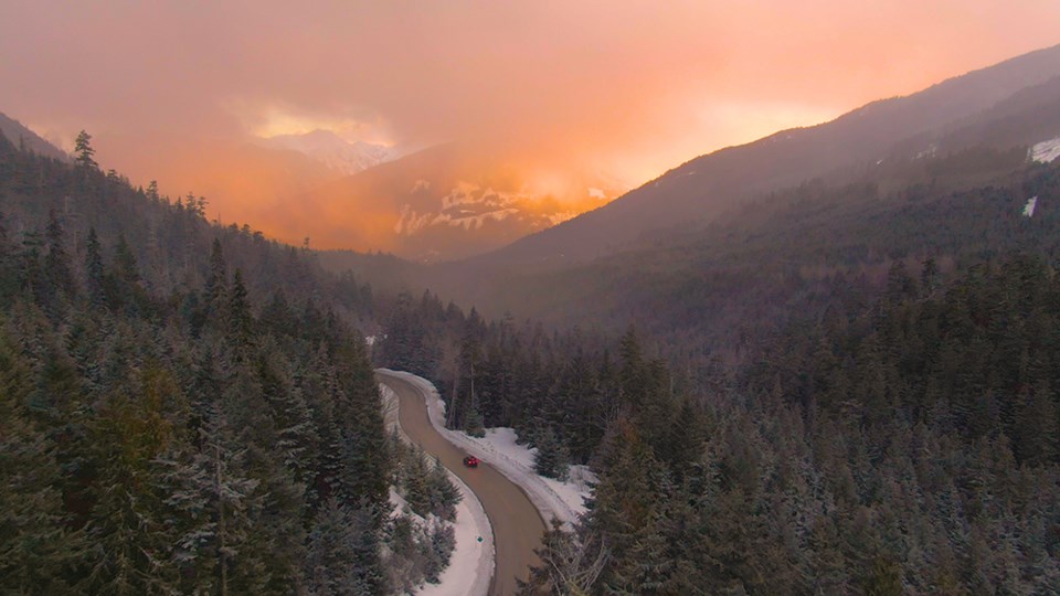
A highway alert warning of possible snow accumulation has also been issued for the Sea to Sky highway between Whistler and Squamish.
Conditions on Monday are expected to be cloudy, with a 40 per cent chance of flurries forecasted for the resort late in the morning and early afternoon. Snow is predicted to start falling in the afternoon, accumulating to 2 to 4 cm.
While temperatures in Whistler are expected to hit a high of minus 1°C Monday, the wind chill will feel more like minus 8°C in the morning, according to Environment Canada. Snow should end after midnight.
The front is expected to move out of the region Tuesday morning.


